Join the webinar: Exploring our beta platform for blue carbon monitoring
Coastal ecosystems such as seagrass meadows, saltmarshes and mangroves play a vital role in climate regulation by capturing and storing vast amounts of carbon. Yet, monitoring these habitats and quantifying their carbon stocks remains a major challenge for scientists, policymakers and coastal managers alike.
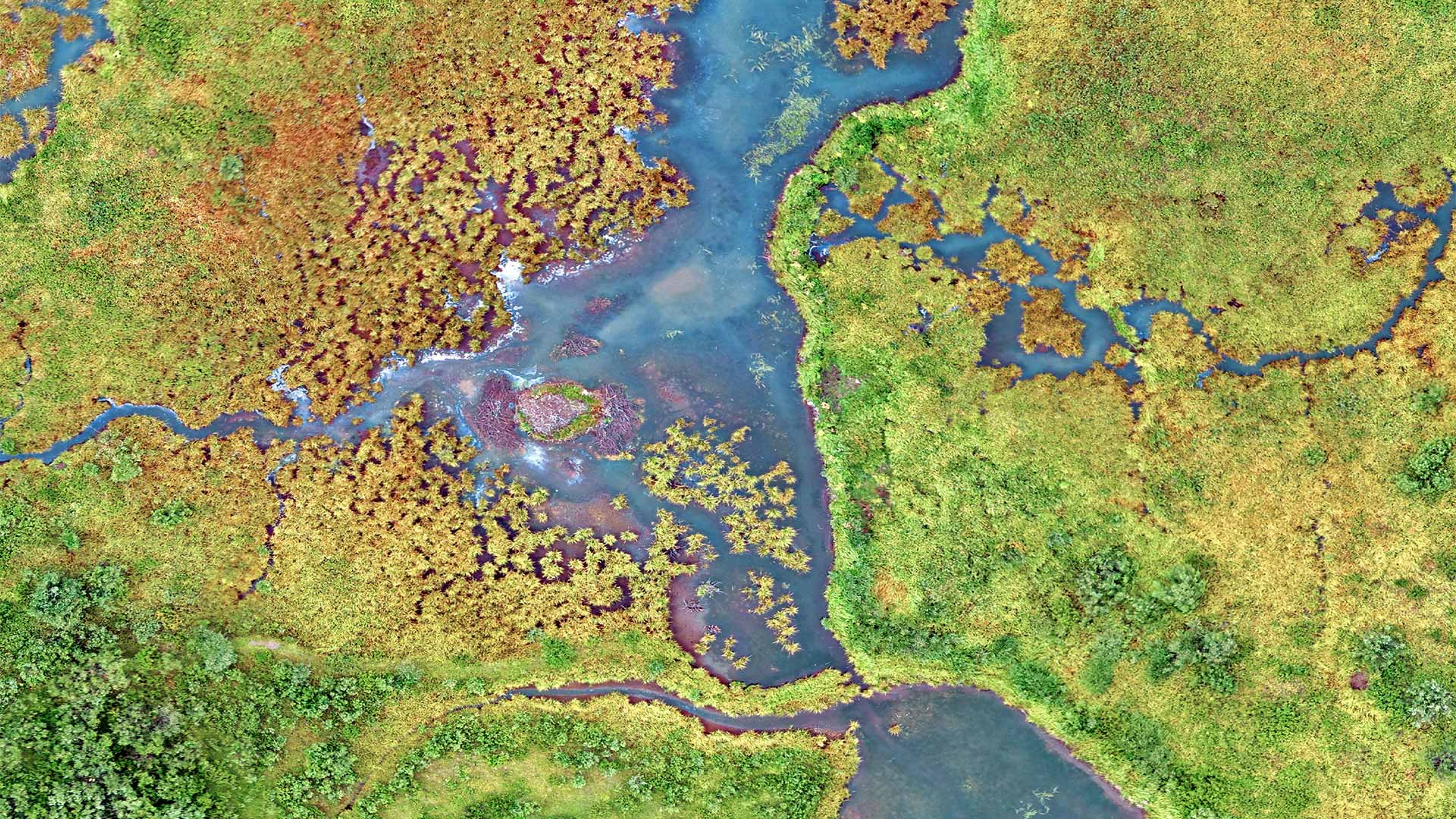
The ESA Coastal Blue Carbon project, led by the European Space Agency and coordinated by i-Sea, brings together an international consortium of research and technical partners to address this challenge.
By harnessing cutting-edge Earth Observation technologies, the project is developing a geo-catalogue to map coastal habitats and estimate the blue carbon they store, with the aim of supporting evidence-based conservation, management and climate strategies.
About the webinar
We are pleased to invite you to public webinars showcasing the project’s beta geospatial data catalogue, with focuses covering:
Blue carbon ecosystems in Canada,
Mangroves in French Guiana,
Blue carbon ecosystems along the French Atlantic coast,
and Posidonia oceanica seagrass meadows in the French and Spanish Mediterranean.
Join our upcoming webinar and explore our beta platform.
During this one-hour session, you will discover interactive map-based visualisations illustrating the evolution of blue carbon ecosystems over time, alongside first estimates of blue carbon stocks. The webinar will also shed light on the Earth Observation methods underpinning the platform and the scientific choices behind the indicators presented.
Each webinar will be led by the project partners responsible for data collection and processing in their respective countries, who will present the results and local case studies. Benoît Béguet, scientific manager at i-Sea, will also join each session to provide methodological insights and explain the Earth Observation approaches underpinning the platform. They will present early results and engage in an open discussion on potential applications of this geocatalogue for management, policy and decision-making.
Why take part?
Why attending this webinar, you will:
Discover the ESA-backed platform in action
Explore the beta geospatial platform through concrete case studies across diverse blue carbon ecosystems, from seagrass meadows to mangroves and saltmarshes.
Understand the science behind the maps
Gain clear insights into the Earth Observation methodologies and data processing approaches used to monitor coastal habitats and estimate blue carbon stocks.
Help shape future developments
Share your feedback and operational needs through a dedicated form, directly influencing the platform’s evolution and its relevance for real-world applications.
Register now
WEBINAR
Canada
Blue carbon ecosystems
Hosted by i-Sea and the Simon Fraser University
Wednesday, January 14, 2026 8:00 PST (Vancouver) 11:00 EST (Montreal)