Towards Earth-Observation-based solutions for coastal blue carbon monitoring
A project by
What is coastal blue carbon?
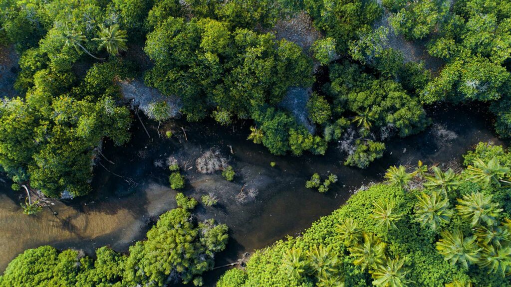
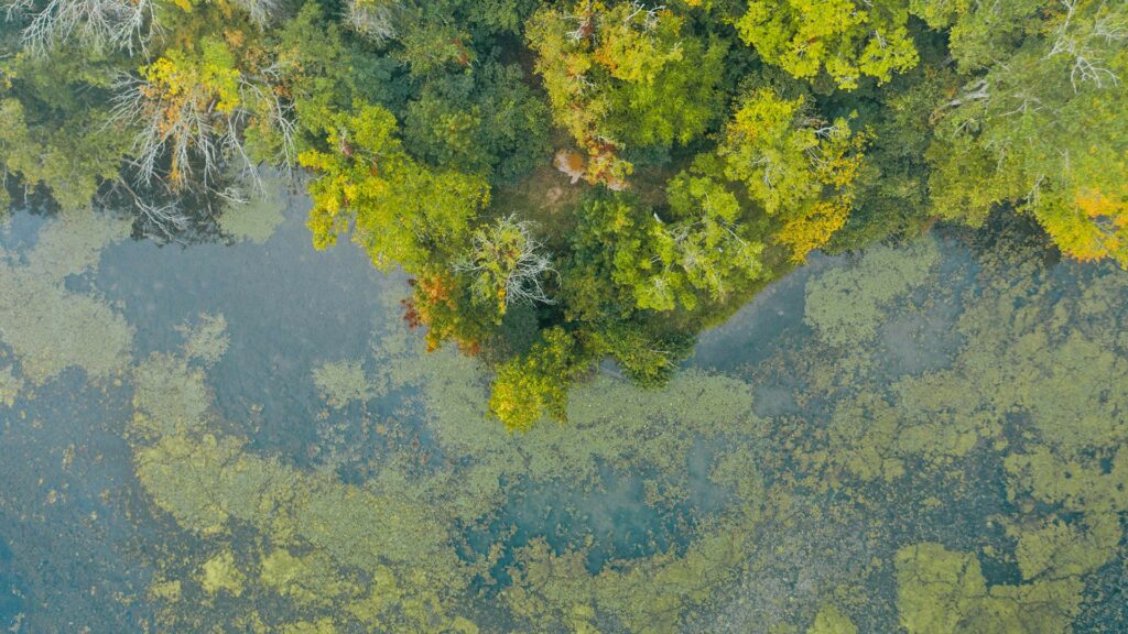
Coastal blue carbon refers to the carbon stored in the biomass, soil, and sediments of marine coastal vegetated ecosystems including seagrass meadows, salt marshes and mangrove forests.
These Blue Carbon Ecosystems (BCEs) account for up to 50% of the carbon sequestered in marine sediments, although they occupy only 0.2% of the ocean surface. Coastal blue carbon is increasingly recognised in international policy as a key solution for mitigating the effects of climate change and strengthening coastal resilience.


Needs for coastal blue carbon monitoring
To support the effectiveness of policies aimed at conserving and restoring coastal Blue Carbon Ecosystems (BCEs) in the face of the looming threats of climate change, there is a pressing need for greater knowledge and tools capable of accurately estimating and monitoring changes in carbon stocks of BCEs over large areas and over time.
For this, remote sensing, combined with ground surveys and advanced modeling, is indispensable. This approach offers a comprehensive and cost-effective solution to tackle the challenge of climate change head-on.
The ESA Coastal Blue Carbon Project
The European Space Agency (ESA) commissioned a consortium of experts to develop novel and innovative tools, indicators and methods based on Earth Observation (EO), for the benefit of interested end-users for the monitoring, restoration, and conservation of seagrass meadows, salt marshes and mangroves.
The products will hybridize ESA satellite imagery (+ other remote sensing data) with in situ observations obtained at pilot sites in Canada, Spain, France and French Guiana, where knowledge and databases on carbon storage in BCEs already exist.
EO-based products to meet diverse needs on blue carbon
Effective and comprehensive tools are needed to guide equitable climate policies, but also facilitate participation of civil society (community-based approach) local managers and decision-makers, in joint governance, thereby supporting decision-making and management for conservation and restoration of coastal BCEs. All stakeholders involved will have an interest in adopting the EO-based products we develop.
Conservation stakeholders
Tools developed will enable entities such as marine protected areas and other nature conservation bodies to assess the quantity and evolution of blue carbon in areas they manage, and make their conservation and advocacy actions more impactful.
Decision-makers
These tools will allow the inclusion of blue carbon in nations’ carbon accounting, and help countries set ambitious mitigation targets or fulfill Nationally Determined Contributions (NDCs) targets more effectively.
Financial sector
Tools will offer monitoring of blue carbon ecosystems at high levels of accuracy. They will help develop high-quality blue carbon projects that risk-tolerant investors will be interested in supporting.
Precise and user-friendly tools for blue carbon monitoring
The consortium will develop products with a user-centered approach, thanks to the proactive involvement of early-adopters with whom we are currently working.
End-users will be able to explore three key coastal blue carbon ecosystems: seagrass meadows, salt marshes and mangroves. They will benefit from a 10 m spatial resolution or less and will be able to to estimate blue carbon fluctuations over three time periods between 2015 and today.


ESA space imagery: an asset for addressing blue carbon conservation
The data collected by ESA satellite technologies will play a central role in the project.
The Sentinel-1 and Sentinel-2 satellite constellations, which are parts of ESA’s COPERNICUS programme, will help achieve high global availability and short 5-day repeatability and monitor visible and near-infrared spectral bands to distinguish BCEs from other ecosystem types in different coastal environments.
The use of data from third party missions (Pleiades, Spot-6/7, Planet satellites) will help end-users use precise information on the distribution of coastal ecosystems, including vegetation species for salt marshes, fragmentation and density for seagrass meadows and forest structure and sediment substrate for mangroves.
Project calendar
1. Requirements consolidation
- Science and policy review
- User requirement consolidation
- Requirement baseline
2. Data collection
- Satellite data collection
- Field datasets
- Intput data inventory
3. Product development on test areas
- EO land cover / vegetation
- In situ / model carbon stock asessent
- Validation
Project Management (crosswise)
Outreach and communication (crosswise)
4. Large-scale production and validation
- Large scale production over pilot regions
- Validation
- Demonstration to early adopters
- GIS platform
5. Impact assessment
6. Roadmap
Project Management (crosswise)
Outreach and communication (crosswise)