BioSpace25 Replays: Featuring our progress on remote sensing and blue carbon ecosystems
Our consortium presented our research findings on how remote sensing can enhance the monitoring of blue carbon ecosystems at the BioSpace25 conference, hosted by the ESA.
About the conference BioSpace25 - Biodiversity Insight form Space
BioSpace25 is an conference organised by the ESA and its partners exclusively dedicated to the application of Satellite Remote Sensing (SRS) across the various dimensions of biodiversity, and addressing the use of Earth Observations in all realms, from terrestrial, freshwater, coastal to marine ecosystems.
From the 10th to the 14th of February 2025, specialists in satellite remote sensing for biodiversity, biodiversity scientists, field ecologists, biodiversity monitoring practitioners, data providers and biodiversity policy stakeholders from governments, international organizations and NGOs. gathered in the ESA Centre for Earth Observation, in Frascati, Italy, to:
- Offer insightful exploration of critical biodiversity challenges that Earth Observation systems should primarily address,
- Showcase cutting-edge SRS solutions in different biodiversity domains,
- Foster collaborative efforts to advance the use and impact of Earth Observation in biodiversity science, monitoring and policy implementation.
Presentations by our consortium
Representatives of the organisations involved in the ESA Coastal Blue Carbon project consortium took part in the forum, including the French National Research Institute for Sustainable Development (IRD) and company and project leader i-Sea.
The BioSpace25 conference on biodiversity was an exceptional opportunity for us to showcase the progress we have made in mapping and monitoring blue carbon ecosystems, with the aim of creating tools that can be used by stakeholders in conservation, public authorities and the world of finance.
Take the time to watch our three conferences below.
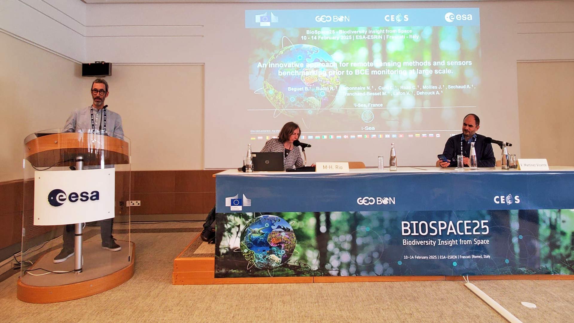
A innovative approach for remote sensing methods and sensors benchmarking prior to BCE monitoring at large scale
Researchers
Benoit Beguet, Rémi Budin, Cécile Curti, Nicolas Debonnaire, Clemence Rozo, Julie Mollies, Amélie Sechaud, Manon Tranchand-Besset, Virginie Lafon, Aurélie Dehouck
Organisations and institutes
i-Sea, France
Mangrove forests play a pivotal role in maintaining coastal biodiversity and supporting local livelihoods. They are among the most productive ecosystems on Earth, with a potential storage of organic carbon reaching 693 Mg C ha-1. Mapping and monitoring of mangrove carbon stocks over time represents a significant challenge for remote sensing studies. Indeed, greater consideration of the structural and functional diversity of mangrove stands is required to improve the accuracy of carbon maps.
As part of the ESA-funded Coastal Blue Carbon project (2024-2026), we have incorporated mangrove habitat diversity into a mapping model of aerial carbon stocks. Our approach uses extensive field data from forest inventories conducted in a diverse range of mangrove habitats since 1995. Subsequently, tree growth equations are employed to calculate the above-ground biomass (AGB) and carbon stocks of numerous forest stands at the time of acquisition of a large dataset of very high-resolution Pleiades satellite imagery (50 cm) over pilot sites in French Guiana, Amapá in Brazil, Suriname and Guyana.
The FOTO texture-based methodology (Fourier-based Textural Ordination algorithm, Proisy et al., 2007) was then applied to all Pleiades mangrove images. The objective was twofold: first, to map and label the diversity of mangrove habitats in terms of canopy properties; second, to predict the associated AGB at a 1-ha scale. The resulting AGB maps are transformed into carbon maps based on the total (soil, below- and above-ground) carbon storage model developed by Walcker et al. (2018) in French Guiana with the same field dataset.
Very high-resolution Earth Observation imagery for carbon stock assessment is critical for mapping and monitoring the blue carbon capacity of coastal ecosystems. The results support local decision-making for conservation and can inform global climate policy. However, these new results also highlight the need for new field data and new models of mangrove functioning.
Improving the assessment of Blue Carbon stock of mangroves using remote sensing along the Amazon coast
Researchers
Elodie Blanchard, Thibault Catry, Quentin Marsal, Benoit Béguet, Jean-François Faure, Gwenaël Abril, Johanna Jupin, Christophe Proisy
Organisations and institutes
UMR ESPACE-DEV, IRD, Univ. Montpellier, Univ. Guyane, Univ. La Réunion, Univ. Antilles, Montpellier, France; i-Sea, Bordeaux, France; UMR 8067 BOREA, MNHM, CNRS, IRD, SU, UCN, UAG, Paris, France; UMR LOCEAN, IRD, Bondy, France; UMR AMAP, IRD, Cayenne, French Guiana; AMAP, IRD, CIRAD, CNRS, INRAE, Univ. Montpellier, Montpellier, France
Mangrove forests play a pivotal role in maintaining coastal biodiversity and supporting local livelihoods. They are among the most productive ecosystems on Earth, with a potential storage of organic carbon reaching 693 Mg C ha-1. Mapping and monitoring of mangrove carbon stocks over time represents a significant challenge for remote sensing studies. Indeed, greater consideration of the structural and functional diversity of mangrove stands is required to improve the accuracy of carbon maps.
As part of the ESA-funded Coastal Blue Carbon project (2024-2026), we have incorporated mangrove habitat diversity into a mapping model of aerial carbon stocks. Our approach uses extensive field data from forest inventories conducted in a diverse range of mangrove habitats since 1995. Subsequently, tree growth equations are employed to calculate the above-ground biomass (AGB) and carbon stocks of numerous forest stands at the time of acquisition of a large dataset of very high-resolution Pleiades satellite imagery (50 cm) over pilot sites in French Guiana, Amapá in Brazil, Suriname and Guyana.
The FOTO texture-based methodology (Fourier-based Textural Ordination algorithm, Proisy et al., 2007) was then applied to all Pleiades mangrove images. The objective was twofold: first, to map and label the diversity of mangrove habitats in terms of canopy properties; second, to predict the associated AGB at a 1-ha scale. The resulting AGB maps are transformed into carbon maps based on the total (soil, below- and above-ground) carbon storage model developed by Walcker et al. (2018) in French Guiana with the same field dataset.
Very high-resolution Earth Observation imagery for carbon stock assessment is critical for mapping and monitoring the blue carbon capacity of coastal ecosystems. The results support local decision-making for conservation and can inform global climate policy. However, these new results also highlight the need for new field data and new models of mangrove functioning.
Space-based monitoring of mangroves for anticipatory Nature-Based Solutions: a three-point research agenda
Researchers
Christophe Proisy, Thibault Catry, Elodie Blanchard, Paul-emile Augusseau, Médie Collet, Adrien Staquet, Quentin Marsal, Gwenaël Abril, Edward Anthony, Elodie Boriau, Léa Ackerer, Benoit Beguet, Fabian Blanchard, Jean-bernard Duchemin, François Fromard, Antoine Gardel, Ludovic Granjon, Martine Hossaert, Dominique Joly, Johanna Jupin, Tanguy Maury, Christophe Peyrefitte, Philip Roche, Pierre Scemama, Olivier Thebaud, Romain Walcker
Organisations and institutes
AMAP, IRD, French Guiana, France; AMAP, IRD, CIRAD, CNRS, INRAE, Univ. Montpellier, France; ESPACE-DEV, IRD, Univ. Montpellier, Univ. Guyane, Univ. La Réunion, Univ. Antilles, Montpellier, France; LEEISA, CNRS, IFREMER, Univ. Guyane, French Guiana, France; Institut Pasteur de la Guyane, French Guiana, France; BOREA, MNHN, CNRS, IRD, SU, UCN, UAG, Paris, France; Aix-Marseille University, CNRS, IRD, INRAE, Collège de France, CEREGE, Aix-en-Provence, France; SEPANGUY, Cayenne, French Guiana, France; i-Sea, France; CRBE, CNRS, Univ. Toulouse III Paul Sabatier, Toulouse INP, IRD; CNRS, Paris, France; LOCEAN, IRD, CNRS, MNHN, Sorbonne Univ., Bondy, France; RECOVER, INRAE, Aix-Marseille Univ., Aix-en-Provence, France; AMURE, IFREMER, CNRS, IRD, Univ. Bretagne Occidentale, Plouzané, France
Remote sensing is a key area of research that will strengthen the link between the different scientific disciplines involved in the Nature-based Solutions (NbS) framework. The present review covers three decades of remote sensing studies of healthy mangrove ecosystems in French Guiana. This effort is of great value in the context of the ESA-funded Coastal Blue Carbon project and two French national programmes (Solu-Biod and FairCarbon). We have identified three typical NbS themes associated with mangroves in French Guiana.
The first theme is the prediction of coastal dynamics and erosion based on operational mangrove spatial monitoring, modelled using time series of moderate-resolution satellite imagery. These predictions are then used to support coastal planning.
The second NbS theme concerns biodiversity, ecosystem functioning, resources and uses. We address this with the support of very high spatial resolution imagery, which is key for assessing mangrove habitats. We produce biomass and carbon maps, model fine-scale socio-economic surveys and describe the use of mangrove-derived resources to inform their management.
The third theme addresses the health of mangrove coasts, including ecosystem state and the associated potential risks for human health. Work on this theme uses the fine-scale characterization and monitoring of mangrove habitats to enable early detection of threats to the ecosystems, such as defoliation during caterpillar outbreaks. Furthermore, it permits investigating the hitherto largely unstudied risk posed by mosquitoes and culicoides in mangroves, which differ from vector communities found in urban areas.
It can be concluded from this research that remote sensing provides a strategic, operational and pioneering approach to anticipating coastal change in tropical regions. This allows for the rapid detection and public awareness of socio-environmental issues, as well as informing decision-making processes. Indeed, time series and remote sensing images facilitate understanding of global change and inform decisions about mangrove-dependent social-ecological systems.